Context
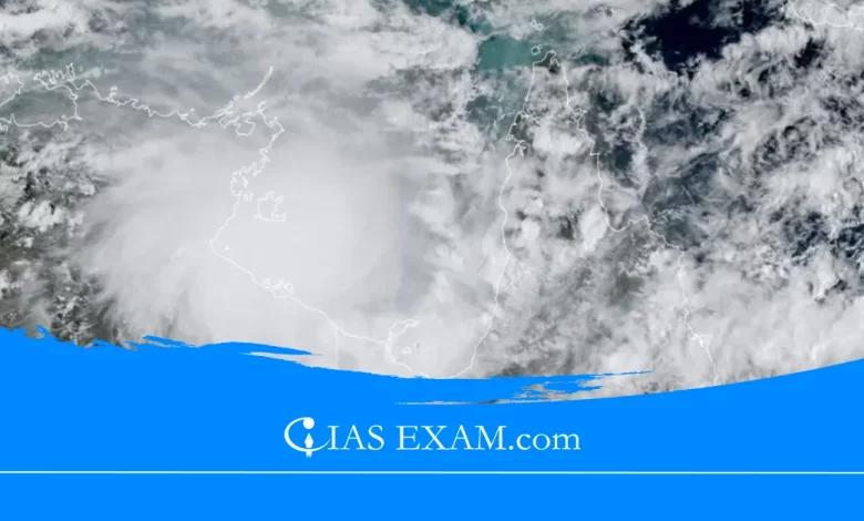
Cyclone Storm Megan weakened to a tropical low while bringing heavy rain and winds to the Northern Territory of Australia.
About Cyclones
- Cyclones are large revolving storms resulting from winds blowing around a central area of low atmospheric pressure.
- In the southern hemisphere these storms rotate in a clockwise direction, at the same time as in the northern hemisphere rotate in an anticlockwise direction.
- Cyclones expand over warm waters in the tropical areas of the oceans where areas of very low pressure are created by air being warmed by the sun.
- This causes the air to upward push very hastily and will become saturated with moisture that condenses into massive thunderclouds.
How are Cyclones shaped?
The development cycle of tropical cyclones may be divided into three levels:
- Formation and Initial Development Stage: The formation and initial development of a cyclonic storm depends upon diverse situations. These are:
-
- A warm sea: a temperature in excess of 26 degree Celsius to a depth of 60 m.
- Atmospheric instability: It encourages formation of large vertical cumulus clouds due to convection with condensation of rising air above the ocean floor.
- Wind shear: One aspect within the environment that inhibits the increase of cyclones is called the vertical shear, which refers to a rapid change in wind speed or course, for up to 10 kilometers or so.
- Strong vertical shear suppresses cyclones and weak vertical shear will increase cyclones.
-
- Mature Tropical Cyclones: When a tropical cyclone intensifies, the air rises in full of life thunderstorms and tends to spread out horizontally on the tropopause degree.
-
- Once air spreads out, a positive perturbation pressure at high levels is produced, which accelerates the downward movement of air because of convection.
- With the inducement of subsidence, air warms up through compression and a warm ‘Eye’ is generated. Generally, the ‘Eye’ of the storms has 3 primary shapes: (i) circular; (ii) concentric; and (iii) elliptical.
- The important physical characteristic of a mature tropical cyclone in the Indian Ocean is a concentric pattern of tremendously turbulent large cumulus thundercloud bands.
-
- Modification and Decay: A tropical cyclone begins to weaken in terms of its central low pressure, internal warm temperature and extraordinarily high speeds, as soon as its source of warm moist air begins to ebb, or is abruptly cut off. This happens after its landfall or when it passes over cold waters.
Naming Procedure of Cyclones
- The WMO/ESCAP Panel on Tropical Cyclones at its 27th Session held in 2000 in Muscat, Sultanate of Oman agreed in precept to assign names to the tropical cyclones in the Bay of Bengal and Arabian Sea.
- According to the authorised principle, a listing of 64 names in 8 columns must be prepared.
- The name has been contributed by Panel contributors.
- The RSMC tropical cyclones, New Delhi gives a tropical cyclone an identity call from the above name list.
- The Panel member’s name is listed alphabetically countrywise in every column. These lists are used sequentially, and they’re now not rotated each few years, like the Atlantic and Eastern Pacific lists.
- Since all of the 64 names indexed first of all were given exhaustion, a new listing comprising 169 names contributed by the thirteen Member nations of the WMO/ESCAP Panel has been prepared and put in place since the pre:monsoon season of 2020.
Mitigation Strategies
The mitigation measures as proposed by the UN-HABITAT are given under:
- Hazard Mapping: It maps the pattern of antique cyclones using their wind speed, areas affected, flooding frequency and many others.
- Land use planning: With the effective implementation of land use planning, the key activities and settlements may be prevented in the most susceptible regions. For example, an agreement in the floodplains is at utmost chance. Hence, government should plan ahead to avoid such risks.
- Engineered Structures: These structures resist the wind forces and prove to mitigate the losses. The public infrastructure of the country should be designed keeping in mind the danger mapping of the cyclone.
- Retrofitting Non-Engineered Structures: To beautify houses’ resistance to the wind or positive disastrous climate conditions. Eg. Construction of a steep:slope roof to keep away from the chance of being blown away.
- Cyclone Sheltering: At national, state and local level, the development of cyclone shelters need to be taken as much as assisting the vulnerable community from cyclones.
- Flood Management: As the cyclonic storms result in heavy rainfall that further lead to flooding in diverse regions; importance should be given to the flood management. The drainage systems need to be well designed to mitigate flooding.
- Vegetation Cover development: Planting timber in rows, coastal shelterbelt plantations, mangrove shelterbelt plantations, etc can assist damage the wind pressure and boom the water infiltration potential.
Initiatives by India
- National Cyclone Risk Mitigation Project (NCRMP): To lessen the loss of life and properties in the event of future calamities,NCRMP has been released by the Ministry of Home Affairs, with aid from the World Bank.
- Apada Mitra Scheme: The NDMA has approved a Centrally Sponsored Scheme that specialize in education network volunteers in catastrophe reaction in the 30 most flood susceptible districts of 25 states in India.
- Integrated Coastal Zone Management Project: It objectives at coming out with comprehensive plans to manipulate coastal areas, with the intention to assist in cyclone events.
- Color Coding of Cyclones By IMD: The well-known color coding of natural calamities aims at making people aware about the depth of calamities prior to the risks. The shades used by IMD are green, yellow, orange, and crimson.
- Cyclone Warning Systems: In order to cater to the needs of Cyclone Warning Services and Marine climate offerings, there are seven installed Cyclone Warning Centers protecting the east & west coasts of the country.
Conclusion
- The Indian subcontinent is one of the worst affected areas in the world. The subcontinent with a protracted coastline of 8041 kilometers is uncovered to nearly 10 percent of the sector’s tropical cyclones.
- Hence, India with its diverse groups like IMD, NIDM and others have to constantly enhance its strategies to address this extreme chance, which is going to become excessive in coming years in the wake of climate change.
Source: The News on AIR
UPSC Mains Practice Question
Q.What do you understand about tropical cyclones? Elaborate the difference between tropical cyclones and the temperate cyclones. (250 words)


.png)