Daily Current Affairs for UPSC
NavIC (Navigation in Indian Constellation)
Topic- Space Technology [GS Paper-3]
Context- The Indian Space Research Organisation (ISRO) is working on a series of improvements to the NavIC, or India’s equivalent of the Global Positioning System (GPS), so that more people are motivated to install it and use it.
Key Highlights
- ISRO is also making plans to make its reach global rather than circumscribe it to India and a limited territory around it.
- The Indian government has been pressing manufacturers to add compatibility and has set a deadline of January 2023 but media reports suggest this is unlikely before 2025.
- A major forthcoming change to add the L1 band into NavIC.
- The L1 bandwidth is part of the GPS and is the most used for civilian navigational use.
- Currently NavIC is only compatible with the L5 and S bands and hasn’t easily penetrated into the civilian sector. We are therefore getting ready with L1 band satellites now.
- The other major step would be to increase the “safety” of the signals.
- There’s Long Code and Short Code. Currently (NavIC) only provides short code. This has to become Long Code for the use of the strategic sector. This prevents the signal from being breached. This had been part of the original scheme for NavIC but less work has gone into it so far.
- There are five more satellites in the offing to replace defunct NavIC satellites that would be launched in the coming months.
- However, to make NavIC truly “global” like GPS, more satellites would need to be placed in an orbit closer to earth than the current constellation.
- Right now, NavIC’s reach is only 1,500 km beyond Indian territory. But for our ships and airplanes travelling beyond that we’d need satellites in Medium Earth Orbit.
- Currently, NavIC satellites orbit earth in a geostationary or geosynchronous (GEO) orbit, or about 36,000 km from earth.
- MEO orbits occupy a space between GEO and Low Earth Orbit (LEO), or about 250-2,000 km from earth.
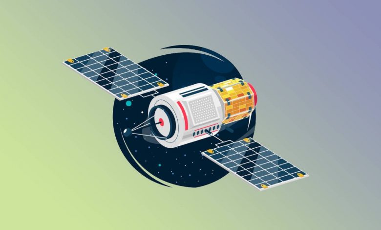
NavIC
- NavIC or the Indian Regional Navigation Satellite System (IRNSS) is designed on the basis of a constellation of 7 satellites and a network of ground stations operating 24×7.
- There are eight satellites in total but only seven satellites are active among which three satellites in geostationary orbit and four satellites in geosynchronous orbit.
- The first satellite (IRNSS-1A) of the constellation was launched on 1st July 2013 whereas the eighth satellite IRNSS-1I was launched in April 2018.
- When the seventh satellite (IRNSS-1G) of the constellation was launched, IRNSS was renamed NavIC by India’s Prime Minister in 2016.
- NavIC was recognised by the International Maritime Organization (IMO) as a part of the World-Wide Radio Navigation System (WWRNS) for operation in the Indian Ocean Region in 2020.
- The GPS system is used in certain different fields such as
- Terrestrial, aerial and marine navigation;
- Disaster management;
- Vehicle tracking and fleet management (especially for mining and transportation sector);
- Integration with mobile phones;
- Precise timing (as for ATMs and power grids);
- Mapping and geodetic data capture etc.
Significances of NavIC
- It gives real time information for standard positioning service open for civilian use and Restricted service which may be encrypted for authorized users like for military.
- With the launch of NavIC India became one of the 5 countries having their own navigation system. So, India is no longer dependent on other countries for navigation purposes.
- It helps in scientific & technological advancement in India. It is important for the country’s sovereignty and strategic requirements.
- In 2019, the government made NavIC-based vehicle trackers mandatory for all commercial vehicles in the country in accordance with the Nirbhaya case verdict.
- In India Qualcomm Technologies has unveiled mobile chipsets supporting NavIC
- With extensive coverage, one of the stated future uses of the project includes sharing of the project with the SAARC nations which help in integrating the regional navigation system further and a diplomatic goodwill gesture from India towards countries of the region.
Need for NavIC
- GPS and GLONASS are operated by defence agencies of the respective nations. It is also possible that the civilian service can be degraded or denied.
- Hence NavIC acts as an independent regional system over the Indian region and does not depend on other systems for providing position service within the service region.
- The GPS system is fully under the control of the Government of India.
Way Forward
- To make NavIC truly global like GPS, more satellites need to be placed in an orbit closer to earth than the current constellation.
- Right now, NavIC’s reach is only 1,500 km beyond Indian territory but for our ships and airplanes travelling beyond that we’d need satellites in Medium Earth Orbit.
- Also to make this global at some point, we can keep adding MEO satellites.


.png)