
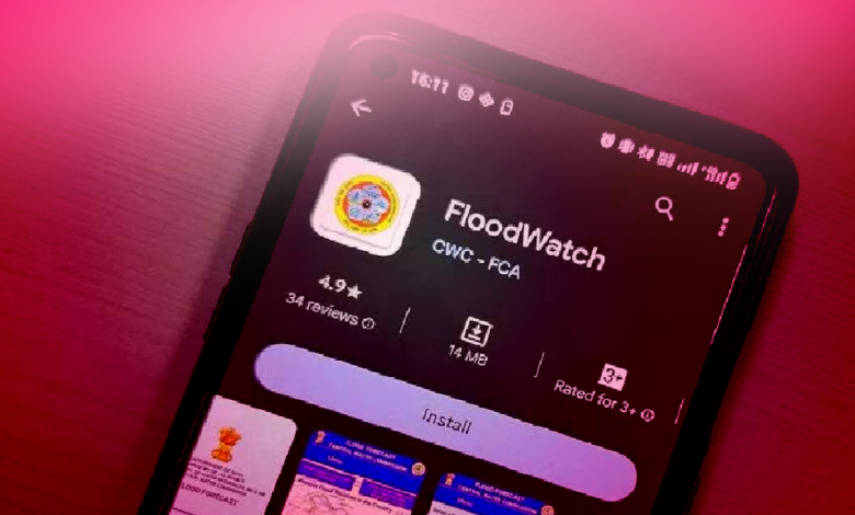
Context:-Shri Kushvinder Vohra, the CWC’s chairman, launched the “FloodWatch” app for mobile devices.
Key points:-
- This app provides the general public with real-time flood-related information.
- The textual and audio broadcast are both available on the in-house built app.
- The Information will be provided in two languages English and Hindi.
About:-
- The ‘FloodWatch’ app, developed by the Central Water Commission of India, can predict floods one day in advance and provide a seven-day advice for flood danger at various measuring stations around the nation.
- It provides written and audio information in regards to the present water level, the highest level in recorded history, the danger level, and any applicable alerts.
- To provide precise and timely flood forecasts, the app makes use of real-time monitoring, mathematical modelling, and satellite data processing.
Central Water Commission (CWC):-
- The responsibility for initiating and coordinating the initiatives put out by the Ministry of Jal Shakti is with the Central Water Commission of India.
- They include programs designed to control and conserve the use of water resources both nationally and inside the States.
- Their programs put forth assist with managing floods, conducting irrigation operations, supplying drinking water, producing hydroelectricity, etc.
- It is led by a Chairman who serves as the Government of India’s Ex-Officio Secretary.
Features of ‘Flood Watch’ App:-
- The application views current flood conditions across the nation and gives data on river flow that is close to real time from different sources.
- Users of this app can utilise an interactive map to get CWC Flood Forecast (up to 24 hours) or Flood Advisory (up to 7 days) information. Stations can be chosen directly from the map or through a search box. Map zoomed in to focus on the chosen station.
- It provides Flood Advisory (up to 7 days) or State- or basin-level Flood Forecast (up to 24 hours).
- This Android software is available everywhere and is user-friendly. From the Google Play Store, a free download. coming soon to Apple iOS.
- The app includes a map of India with coloured circles designating various levels of flood risk,i.e
- Green for normal
- Yellow for above normal
- Orange for severe
- Red for extreme
- The current water level, the maximum level recorded in history, the danger level, and warnings are all available by clicking on a circle.
- The “FloodWatch” software makes use of cutting-edge technology like real-time monitoring, mathematical modelling, and satellite data processing,and aims to provide precise and timely flood forecasts.
Conclusion:-
The application offering real-time flood situations and forecasts to the public was highlighted. A simple user interface allows for quick access to critical flood information. It assists users in staying informed and minimising hazards during flood occurrences.


.png)