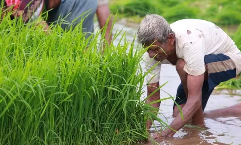
Context: The Centre has urged states and Union Territories to digitise the current manual system of estimating crop area and production by implementing the Digital Crop Survey System starting from July next year.
About:
The government has taken a significant step towards modernising agricultural data collection and supporting farmers by launching the Digital Crop Survey (DCS) project. This innovative initiative, which is being tested in 12 states in India, uses technology to accurately estimate crop area and provide solutions that benefit farmers.
Reason for conducting a digital crop survey:
- In India, the collection and compilation of crop statistics is mostly done manually, which results in delays and the possibility of errors.
- Some states in India, including Karnataka, Telangana, and Andhra Pradesh, have implemented digital data collection systems with GPS-enabled mobile apps to gather crop area and CCEs data. However, Maharashtra and Madhya Pradesh have digital systems specifically for recording crop area.
- India is struggling with unreliable agricultural production estimates and needs real-time assessments to make informed decisions in the agricultural sector.
- To address these challenges, there is a necessity to improve the current production estimation system through the use of technology.
Guidelines for the Digital Crop Survey:
- The Ministry of Agriculture and Farmers’ Welfare (MoA&FW) has recently announced guidelines for the Digital Crop Survey, which have been finalised by the Economics, Statistics and Evaluation Division (ESED).
- These guidelines state that all states and Union Territories (UTs) must implement automation and digitization in the field-level crop area enumeration/girdawari process. This initiative, known as the Digital Crop Survey, is expected to commence in the 2024-25 Agricultural Year.
- According to the guidelines, states and UTs are kindly requested to utilize GPS-enabled mobile applications to collect data on crop sowing for every plot during each season. Subsequently, this data is to be shared at the village level, consolidated, and submitted to the Department of Agriculture and Farmers’ Welfare (DA&FW) through API (Application Programming Interface).
Benefits:
- The project aims to offer transparent and precise estimates of crops sown in various states, thereby eliminating the uncertainties typically associated with traditional data collection methods.
- With the use of accurate data, farmers and policymakers are able to make well-informed decisions that can contribute to the improvement of crop identification and the enhancement of overall agricultural production.
- Collecting data on crops that have been planted will make it easier to estimate yields, which will help with allocating resources and planning.
- Government initiatives aimed at crops can be executed in a more efficient and effective manner, thereby directly benefiting the farming community.
- The use of DCS data in crop insurance will make the claims process faster and more efficient.
- It will also provide information on agricultural practices and their environmental impact, promoting sustainability. Additionally, the accurate data from DCS will improve market dynamics and lead to more stable prices and distribution.
Conclusion:
The DCS project is expected to greatly impact agricultural data collection and analysis by introducing a new approach.
Source:TH


.png)


