
Context- The defunct weather satellite Megha-Tropiques-1 was brought down by the Indian Space Research Organization (ISRO) in a controlled manner and burned up in the atmosphere.
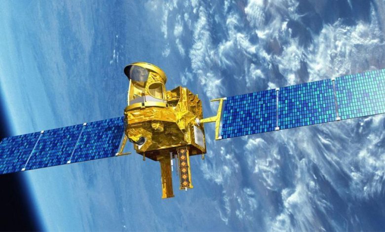
About Megha Tropiques
- Megha-Tropiques is a joint Indo-French satellite mission that aims to investigate the tropics’ energy exchanges and water cycle.
- Understanding the life cycle of convective systems that have an impact on tropical weather and climate as well as their role in the associated energy and moisture budget of the atmosphere in tropical regions is the primary goal of this mission.
- Megha-Tropiques provides scientific data on the role that the water cycle plays in the tropical atmosphere, including information on precipitation, evaporation, condensed water in clouds, and water vapor in the atmosphere.
- The Megha-Tropiques is a one-of-a-kind climate research satellite with a circular orbit that is inclined 20 degrees to the equator. This should also help scientists improve prediction models.
- The Megha-Tropiques can be viewed during the day, at night, and in any weather; Scientists are able to assess the development of clouds almost in real time as it passes over India nearly a dozen times per day.
Payloads
- Microwave Analysis and Detection of Rain and Atmospheric Structures (MADRAS) is a microwave imager that is very similar to the SSM/I and TMI concepts. It has conical scanning with an incidence angle of 56 degrees. A frequency of 150 GHz has been added to the mission to study the convective systems’ high-level ice clouds and serve as a window channel to the sounding instrument at 183 GHz, which is the mission’s primary objective.
- A sounding instrument called the Sounder for Probing Vertical Profiles of Humidity (SAPHIR) has six channels that are close to the 183 GHz absorption band of water vapor. Water vapor profiles can be retrieved from the cloudless troposphere thanks to these channels, which provide relatively narrow weighting functions up to about 10 km (6.2 mi) below the surface. Cross-track scanning is used up to a 50° incidence angle. At nadir, the resolution is 10 km (6.2 mi).
- The scanning radiative budget instrument known as Scanner for Radiation Budget (ScaRaB) has already been launched twice on Russian satellites. The radiances in two wide channels—a solar channel (0.2 – 4 m) and a total channel (0.2 – 200 m)—are ScaRaB’s fundamental measurements, making it possible to calculate longwave radiances. From an orbit at 870 km (540 mi), the nadir resolution will be 40 km (25 mi). CNES and LMD have established and tested the procedures for calibrating the instruments and processing the data in order to derive fluxes from the initial radiances.
- The ROSA (Radio Occultation Sensor for Vertical Profiling of Temperature and Humidity) was purchased from Italy and is used to profile temperature and humidity vertically.


.png)